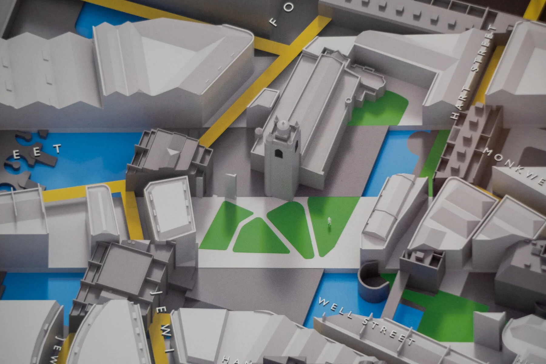
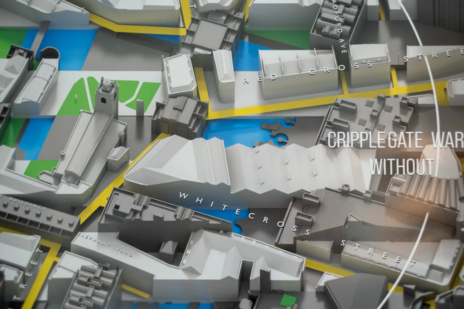
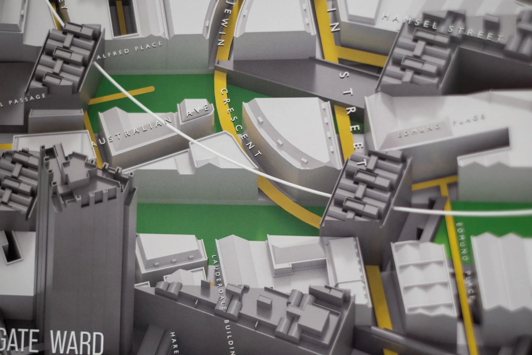
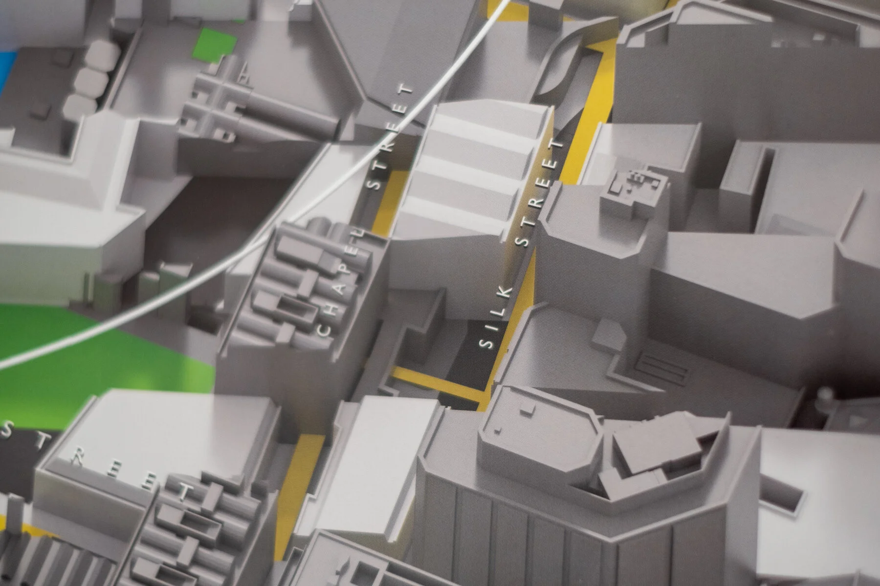
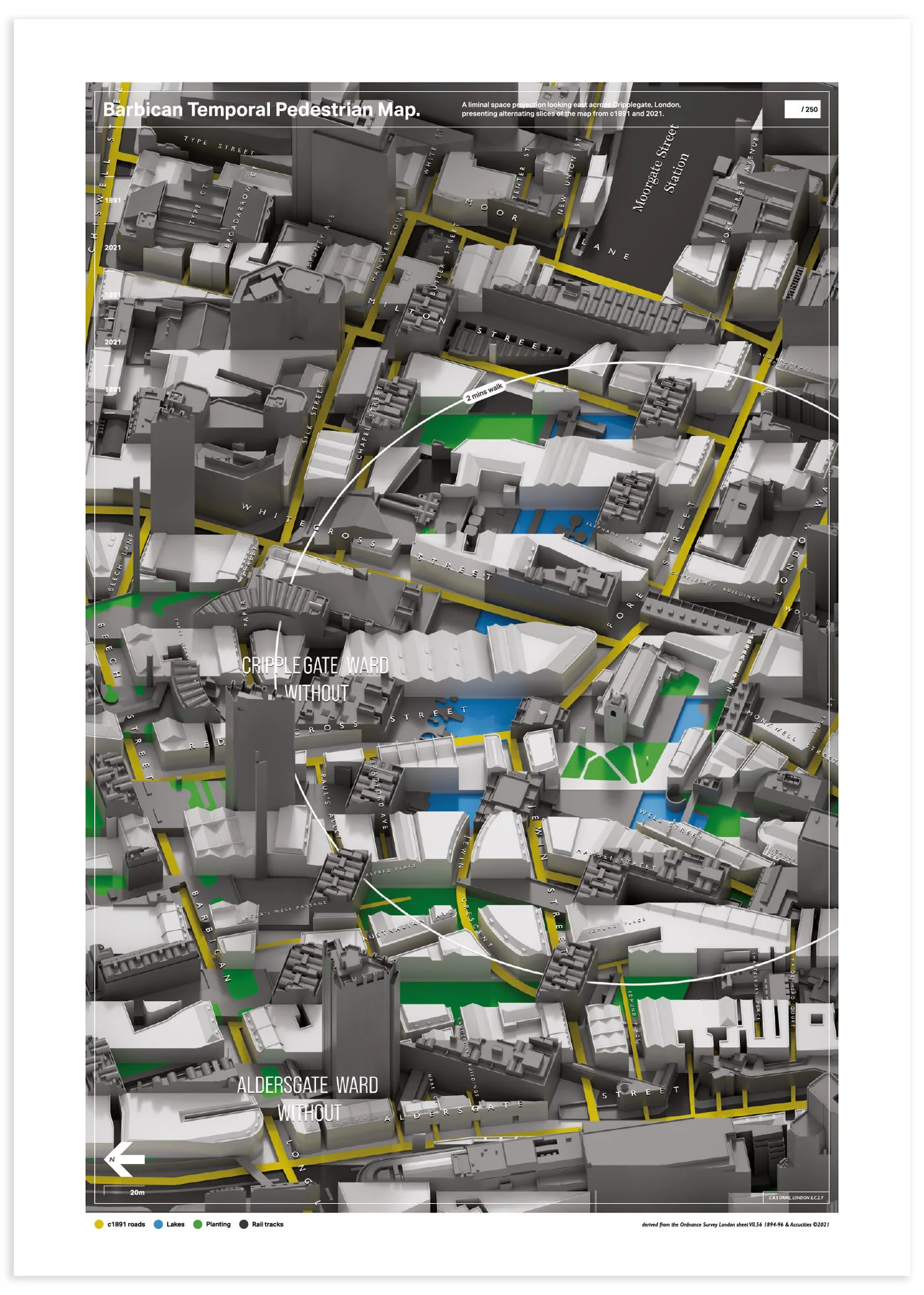
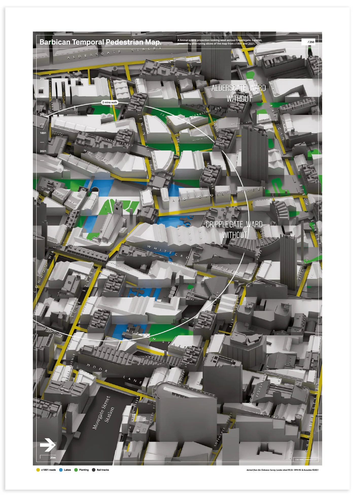
The Barbican is one of the densest accumulations of time in London — Roman walls, bombed-out streets, a brutalist estate built on top of a medieval neighbourhood, all in a few square miles of the City. The map tries to make that layering visible.
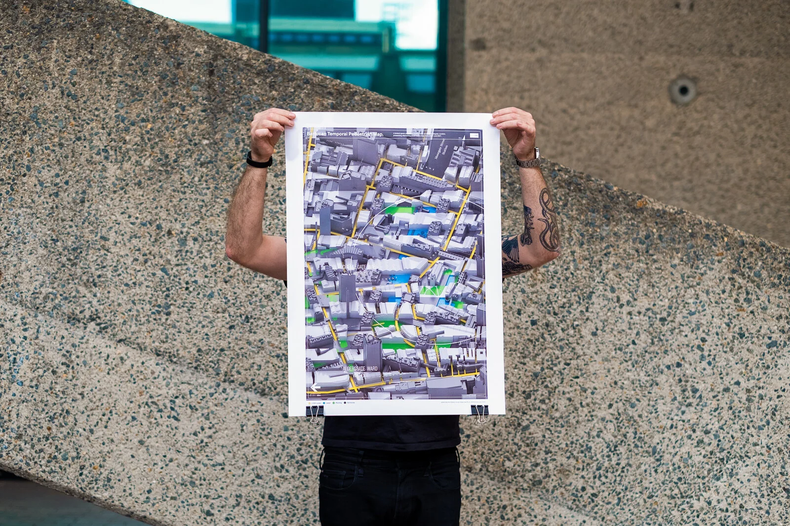
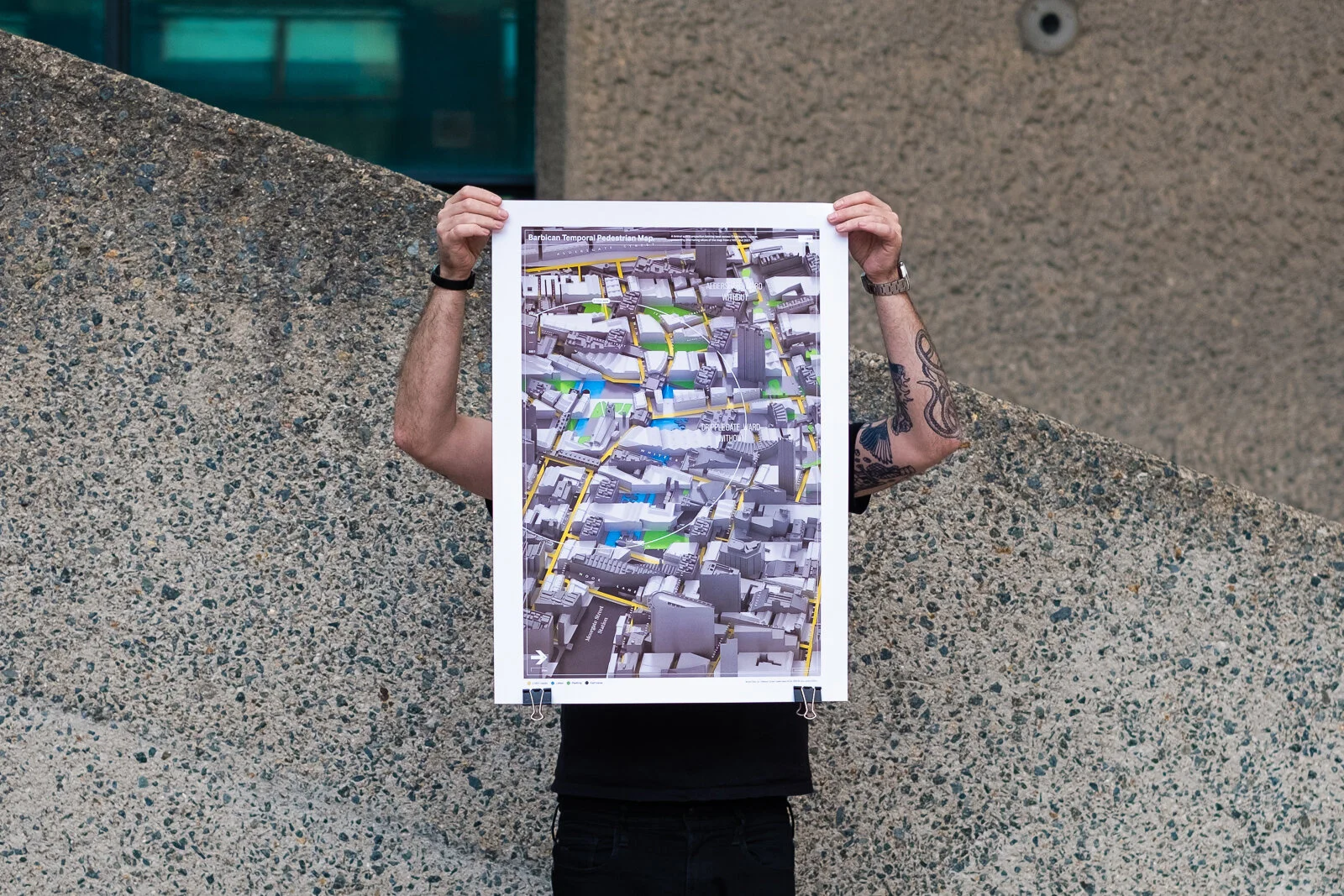
Two editions: one for the eastern half of the estate, one for the western. Each shows the same area in 1890 and 2021 — the Victorian street grid that was mostly destroyed in the Blitz, and the postwar estate that replaced it. Made in collaboration with Accucities.
Buy a print via Liminal Inc. ↗